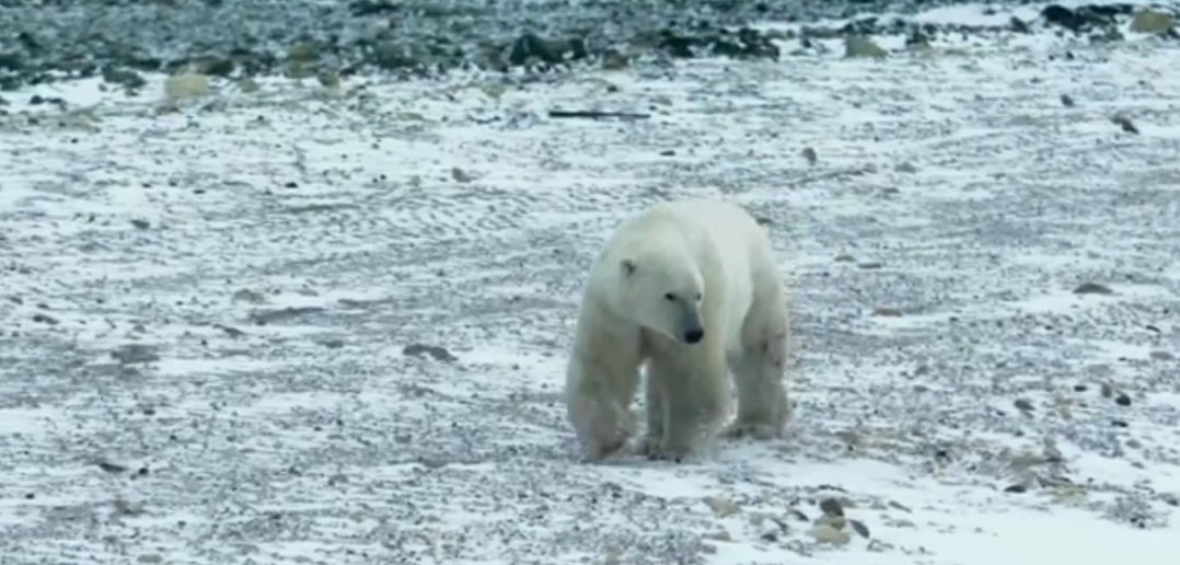
Google has taken its mapping to a whole new level in its recent trip to Churchill, Manitoba in Canada by showing polar bears in their natural habitat.
The latest project is a partnership with Polar Bears International, with the location offering one of the largest polar bear populations in the world.
They managed to capture some spectacular shots, but there is an added benefit to the imagery in that conservationists will now be able to compare them with future images to determine how climate change is affecting the white wilderness of the polar bears’ habitat.
There’s more information on the project over at Popular Science.


