
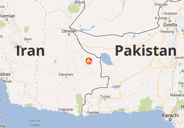

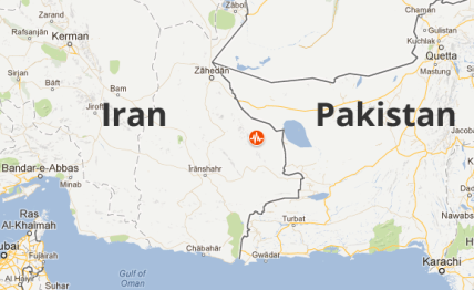
Location of the Iranian earthquake on 16/04/2013. Map courtesy of Google
A magnitude 7.8 earthquake has hit south-east Iran, near the Pakistan border according to a report from the US Geological Survey (USGS).
The epicentre of the earthquake was 86km from the city of Khash, with the strike more than 15km beneath the surface. Tremors were felt across the Gulf and Middle East.
No immediate damage report is available from Iran, but Khash is the capital city of the Sistan and Baluchestan Province, one of the country’s poorest, and has over 56,000 residents.
This quake follows a smaller 6.3 magnitude earthquake which struck Iran on 10th April which reportedly killed 37 people and injured 850 more.

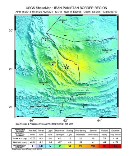
USGS shakemap of Iranian earthquake